Star Ferry Musing #153. USA from 35,000 feet altitude
Written by Robert Wu for his family and friends
To read all 152 SFM articles, please access http://www.starferrymusings.com/
If you wish to discontinue receiving SFM articles, please drop me a line.
如您不想收這些文章, 請告知.
**********************************************
In early May, I took a flight across the United States from west to east. I sat on the left side (port side) of the plane by the window so the sun was behind me. The sky was cloudless for most of the trip, giving me five hours of unobstructed view of the continent from 35,000 feet altitude.
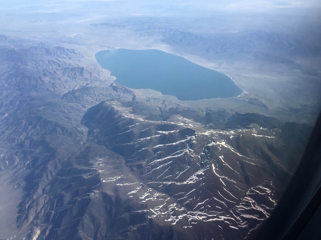
Over Nevada, a lake lied below mountains with thin strips of snow on its ridges.
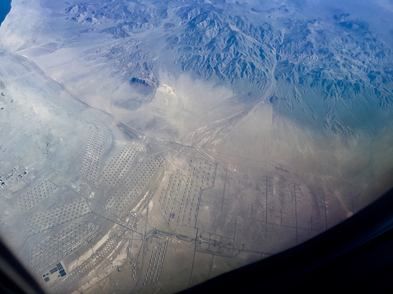
Hundreds of small structures neatly lined up in the Nevada desert. I could not even guess what they contained and what they were doing in the desert.
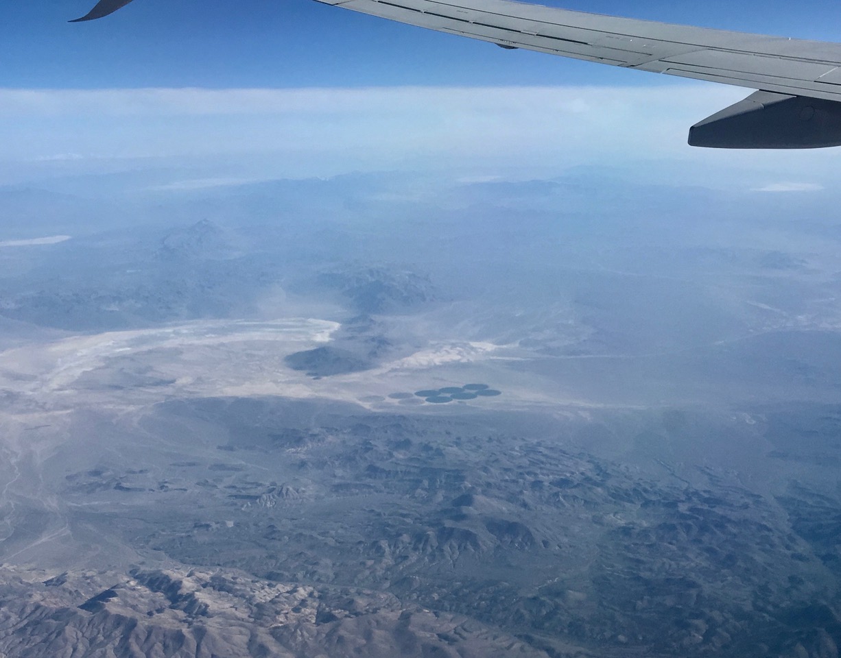
In the desolate and expansive desert, valiant effort were made to grow a little crops in irrigated circular fields.
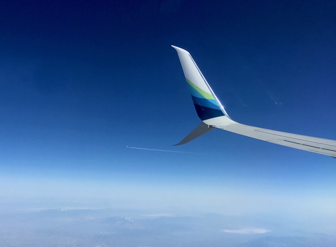
Another jet plane was flying westward, passing by our plane in an invisible air corridor.
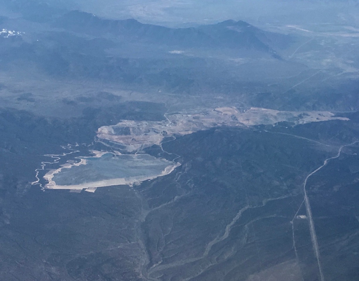
This was a huge mine with a deep pit on the right side of the picture and a massive pile of tailings or mining waste material stored on the left side.
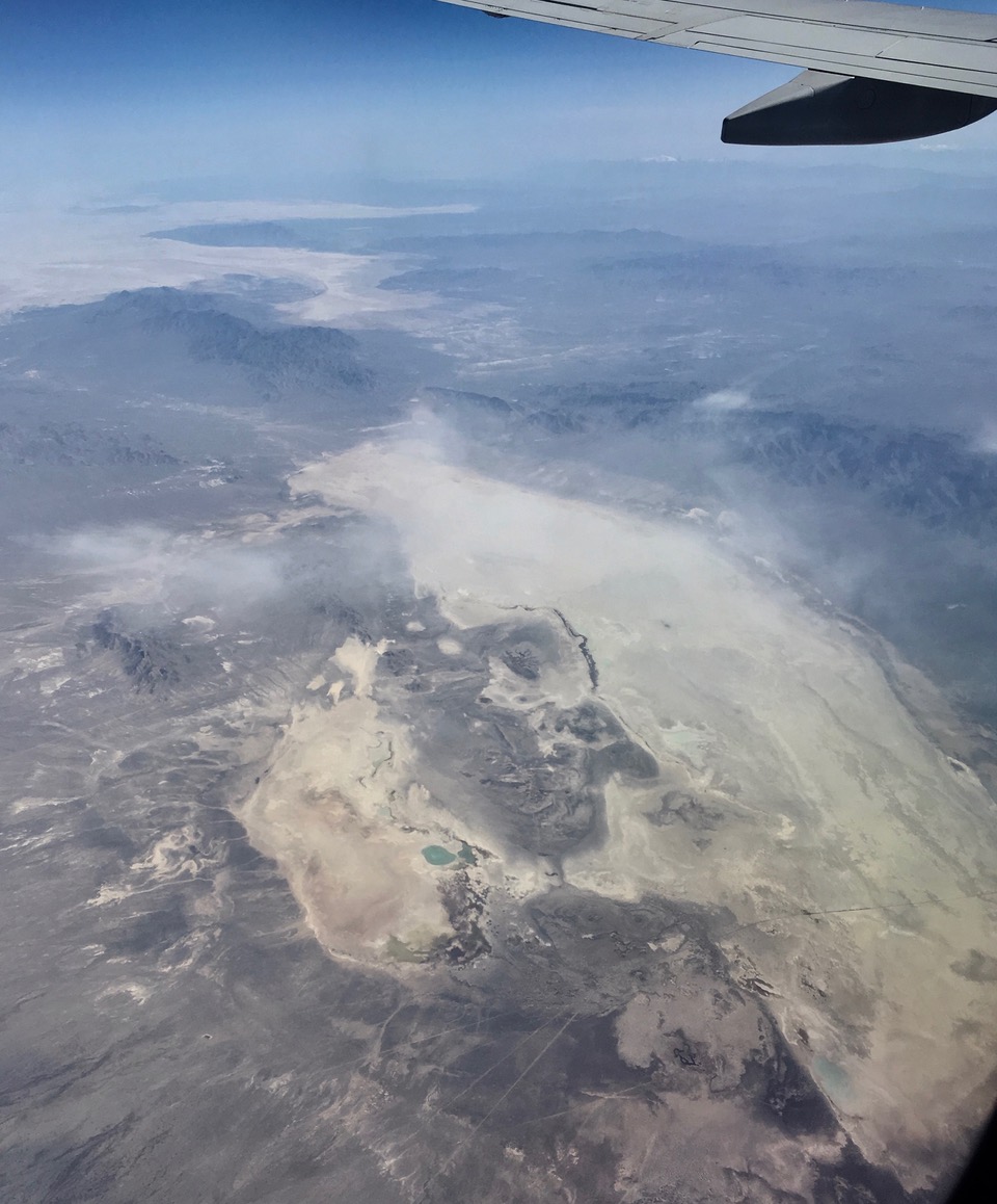
In the Utah desert, a large lake from earlier runoff dried in the sun and shrunk into a tiny pond of hypersaline water.
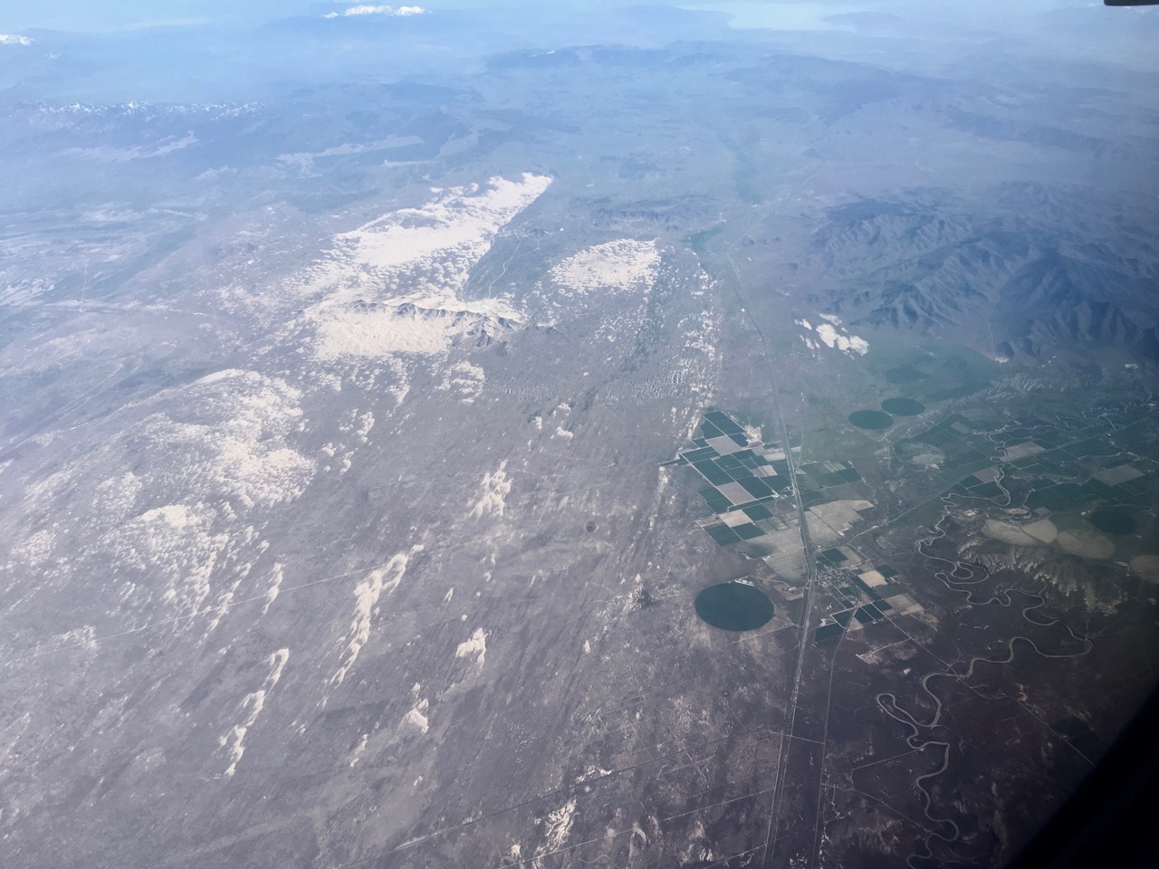
Runoff from the mountains in Utah irrigated farms in the vicinity of sand dunes.
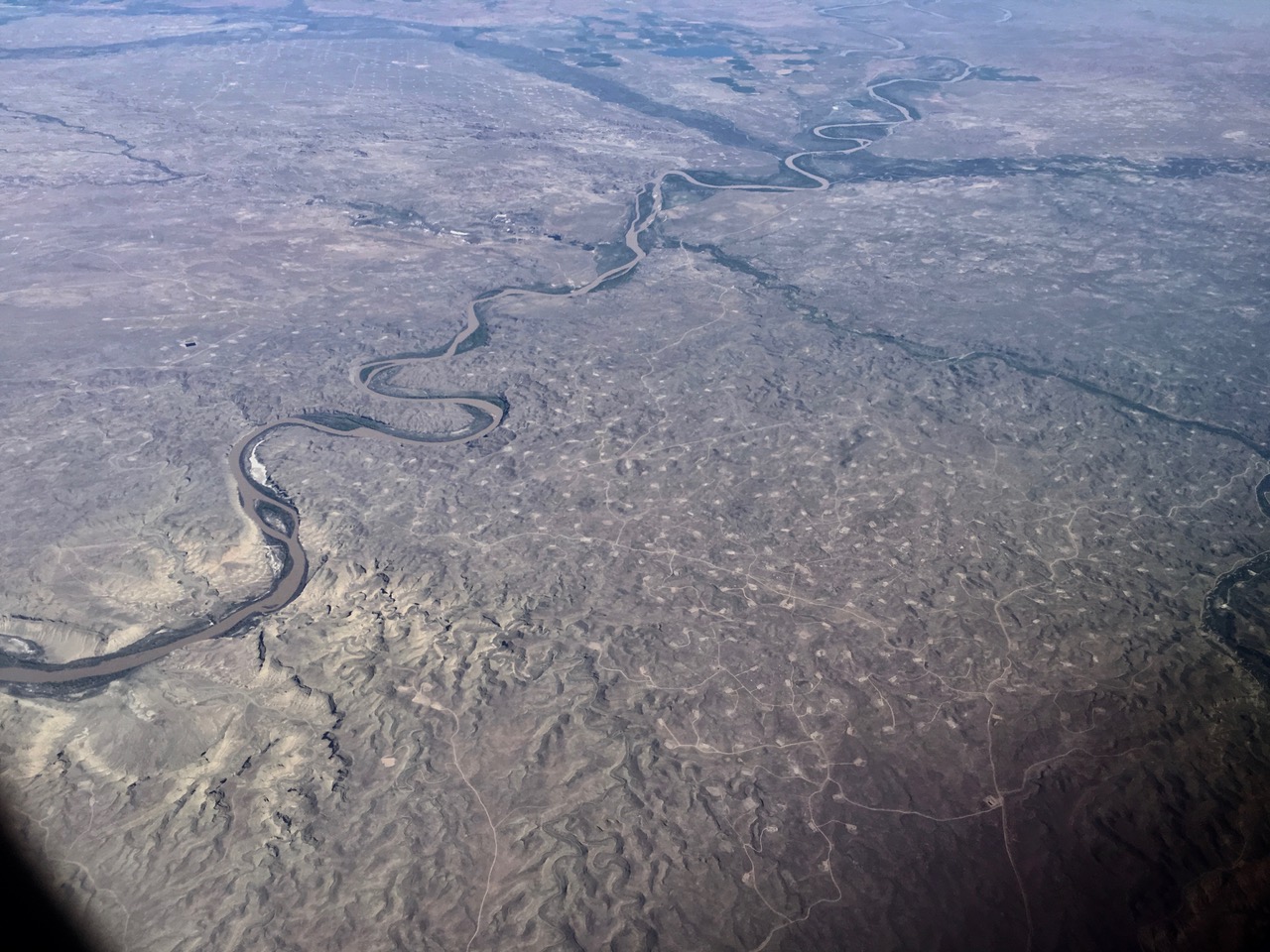
In Colorado, a development built roads and cleared countless housing lots in an inhospitable arid land. From 7 miles up, it was difficult to see how successful the development was in attracting home owners to build houses on the lots. But I could not see much human activities and I suspect this was a massively failed business venture.
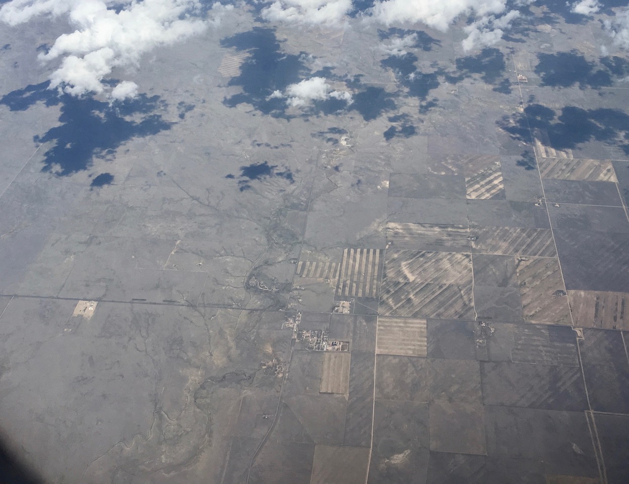
In Colorado near mile-high Denver city, plowed fields faded into undisturbed grassland.
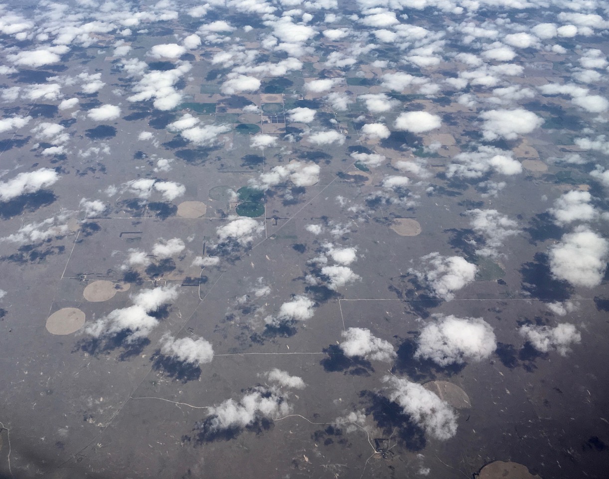
In Nebraska, irrigated circular fields were camouflaged by cotton candy clumps of cumulus clouds.
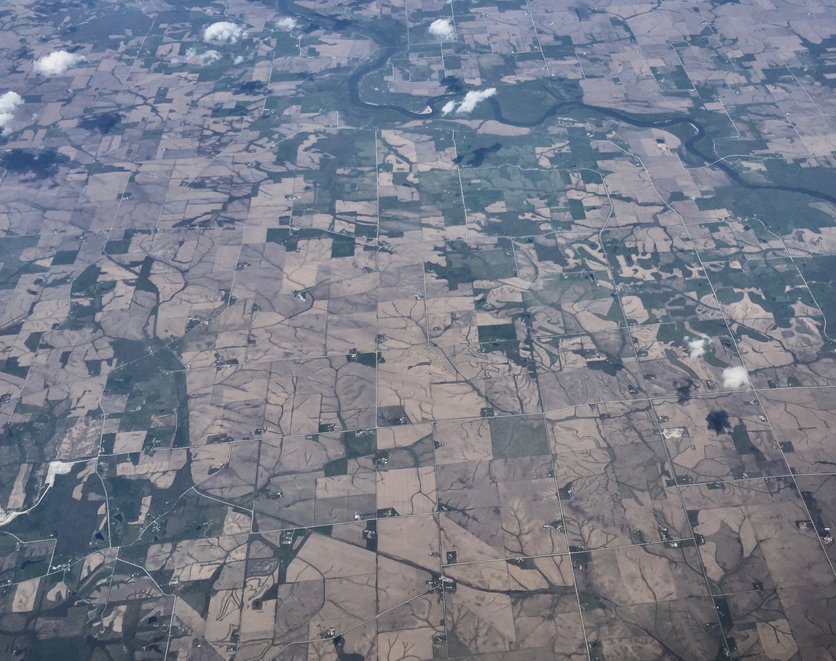
Iowa is a major producer of corn. In early May, the rectangular fields were seeded but were still bare. The underlying natural watershed network of gutters, brooks, streams and rivers were enhanced by dark plants growing in their sheltered channels. This interesting juxtaposition of natural and artificial landscape would be obscured once the planted corn grow tall in a month and only rectangular plots would then be visible.
The complex Chicago O’Hare Airport and its many runways.

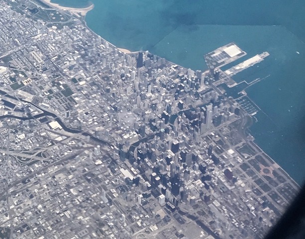
Our plane flew over Chicago. Willis Tower, still known by me as the Sears Tower, is the tall black skyscraper near the lake shore.
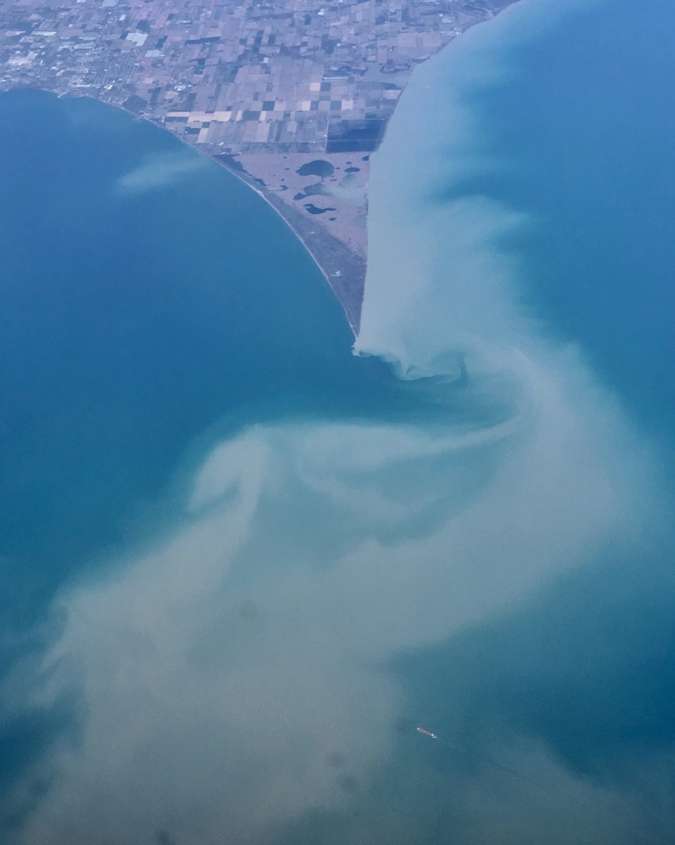
One outstanding geological feature of North America is the five Great Lakes: Lakes Superior, Michigan, Huron, Erie and Ontario. Large amount of water flows continuously towards the sea, giving us the spectacular water drop over the enormous Niagara Falls. In this picture, water flowed slowly but ceaselessly eastward in Lake Erie. Sediments in the water showed eddies and whirling clouds as the water passed land and underwater obstructions. A freight ship in the bottom of the picture sailed upstream against the slow current.
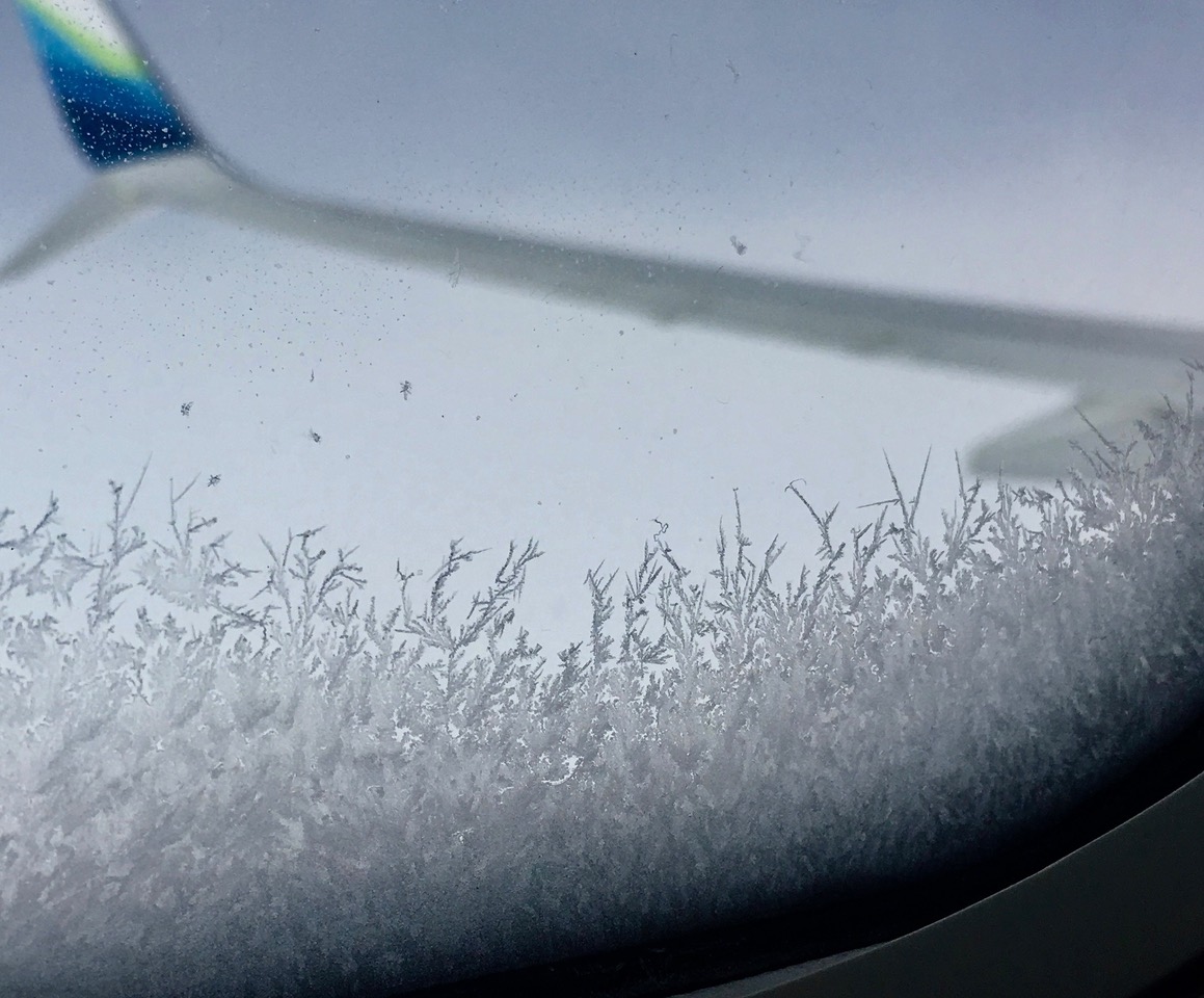
At 35,000 feet altitude, temperature outside the plane was 60 degrees F below zero. Ice crystals with sharp points grew on the window. I was grateful the plane’s efficient heating system and effective insulation maintained a comfortable living condition inside.
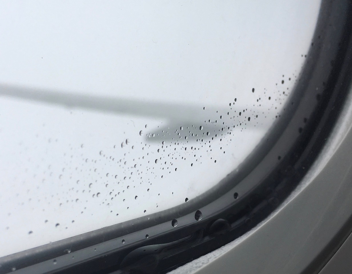
As we approached our destination, the plane descended and the beautiful ice crystals melted into water droplets. It was time to get ready to go home.
*****************************************
Note: If you enjoy reading this blog, feel free to forward it to your friends. But please do not modify this blog in any manner.
Robert, these photos and commentary are great – and so is your blog. So glad to discover it!
Hi Robert,
I am actively researching about my lineage and found your intriguing blog here.
I would like to know more about the info about 伍 and if there is any chance i could find our relatives back in China now.
We are 伍 family residing in Malaysia for 5 generations.
Please text me your mobile number so that we can communicate further.
Malaysia No +60123294885
regards,
Nicholas Ng